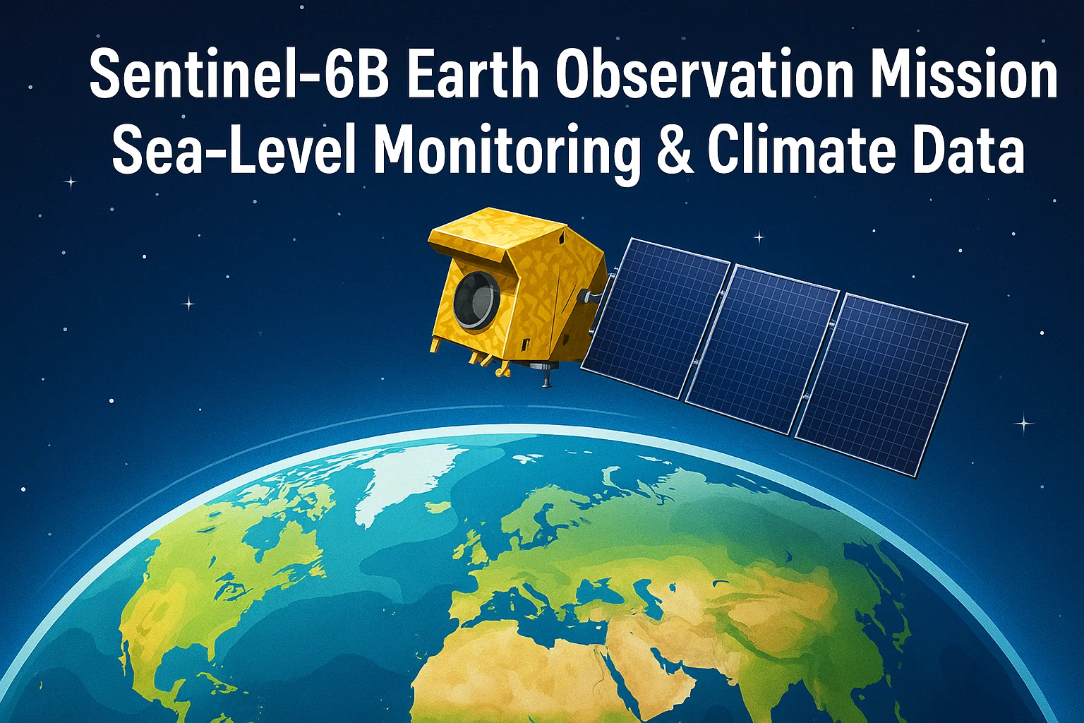
Sentinel-6B Earth Observation Mission: Sea-Level Monitoring & Climate Data
Learn about the 2025 launch of Sentinel-6B, the NASA–ESA ocean altimetry mission enhancing sea-level monitoring, climate forecasting, and maritime safety. Understand its instruments, objectives, and global significance.
Sentinel-6B Launch 2025: Advancing Global Sea-Level Monitoring & Climate Science
The planned launch of Sentinel-6B, the second satellite in the Copernicus Sentinel-6/Jason-CS mission, marks a major advancement in global climate observation and Earth system monitoring. Developed collaboratively by NASA, ESA, NOAA, EUMETSAT, CNES, and the European Commission, Sentinel-6B will extend one of the world’s most important climate data records—global sea-level measurements. Scheduled for launch in November 2025 aboard a SpaceX Falcon 9 rocket from Vandenberg Space Force Base, this mission is a crucial step in continuing the legacy of high-precision ocean altimetry initiated more than three decades ago.

Mission Overview
Sentinel-6B is the successor to Sentinel-6 Michael Freilich, which was launched in 2020 as part of the effort to ensure seamless continuation of accurate sea-level monitoring. Together, the twin satellites constitute the Jason-CS (Continuity of Service) segment of the Copernicus programme, aimed at delivering uninterrupted, high-quality oceanography and climate-related data.
The satellite carries a highly advanced suite of scientific instruments designed for climate research, ocean monitoring, and atmospheric profiling. As part of the mission’s broader goal, Sentinel-6B will contribute significantly to understanding how Earth’s oceans and atmosphere are changing in response to global warming.
Mission Objectives and Instruments
1. Precise Measurement of Global Sea Surface Height
The primary goal of Sentinel-6B is to measure global sea surface height with centimetre-level accuracy. This precision is vital for detecting long-term sea-level rise, a key indicator of climate change driven by melting glaciers, thermal expansion of ocean water, and polar ice loss.
2. Atmospheric Profiling Through GNSS Radio Occultation
The satellite will use GNSS-based Radio Occultation (GNSS-RO) to measure atmospheric temperature and humidity. These vertical profiles play a significant role in strengthening numerical weather prediction models and improving forecasting accuracy for tropical cyclones, severe storms, and extreme weather events.
3. Advanced Payload Instruments
Sentinel-6B’s payload includes:
-
Poseidon-4 Radar Altimeter for high-resolution sea-level, wave-height, and wind-speed observations.
-
Advanced Microwave Radiometer (AMR-C) to correct for atmospheric water vapour interference.
-
GNSS-RO Receiver for precise atmospheric profiling.
-
Orbit determination tools including a GNSS receiver, DORIS system, and laser retroreflector for accurate satellite positioning.
These instruments ensure superior-quality data for both scientific and operational applications.
Significance of Sentinel-6B
1. Extending a 30+ Year Sea-Level Record
Since TOPEX/Poseidon (1992), the world has relied on continuous satellite altimetry to track sea-level changes. Sentinel-6B safeguards this uninterrupted global dataset, which is essential for modelling long-term climate behaviour, predicting future sea-level rise, and developing international climate policies. Any gap in this record would compromise decades of climate modelling and trend analysis.
2. Enhancing Climate Monitoring and Policy Planning
Sea-level rise threatens millions living in coastal regions. Sentinel-6B will deliver high-precision data on:
-
Sea-level trends
-
Ocean currents
-
Ocean heat content
These measurements improve climate change projections and help countries plan coastal adaptation, infrastructure development, erosion management, and disaster-risk mitigation.
3. Strengthening Weather Forecasting
The satellite’s GNSS-RO capability provides accurate atmospheric profiles, which significantly improve medium-range weather prediction. This is especially important because precise data on humidity and temperature enhances models for hurricanes, monsoon patterns, storms, and atmospheric disturbances.
4. Supporting Maritime Safety & Ocean Operations
The mission contributes to operational oceanography by improving data on waves, sea-state, and ocean currents—information crucial for:
-
Shipping routes
-
Search-and-rescue operations
-
Fisheries management
-
Disaster response
Enhanced maritime awareness supports global navigation safety and reduces operational risks.
Subscribe to our Youtube Channel for more Valuable Content – TheStudyias
Download the App to Subscribe to our Courses – Thestudyias
The Source’s Authority and Ownership of the Article is Claimed By THE STUDY IAS BY MANIKANT SINGH


